East Yellowstone Loop
Estimated Trip Time: All day
This world-famous drive takes you from Cody, through the scenic East Yellowstone Valley, to Yellowstone National Park.
Getting Started
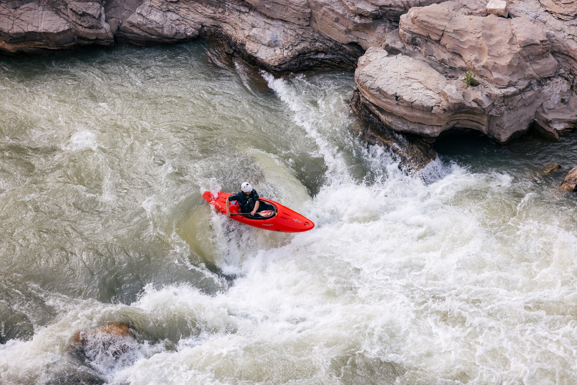
US Highway 14-16-20, the Buffalo Bill Cody Scenic Byway, follows the North Fork of the Shoshone River through the scenic East Yellowstone Valley (Wapiti Valley) to the east entrance of Yellowstone National Park. The route is known for its abundant wildlife, astonishing rock formations, and recreational opportunities. Six miles west of Cody the highway skirts Buffalo Bill Reservoir, a source of excellent trout fishing and location of Buffalo Bill State Park . The Park has facilities for camping, picnicking, boating, and windsurfing.
Shoshone National Forest
Beyond the reservoir, the highway enters the Shoshone National Forest. The Shoshone was set aside in 1891 as part of the Yellowstone Timberland Reserve. One of the oldest Forest Service ranger stations is situated in the East Yellowstone Valley. A stop at the visitor center near the station will provide you with a brief history of the area, as well as locations of campgrounds and trails. Ask for information about current grizzly bear activity and about precautions to take while in bear country
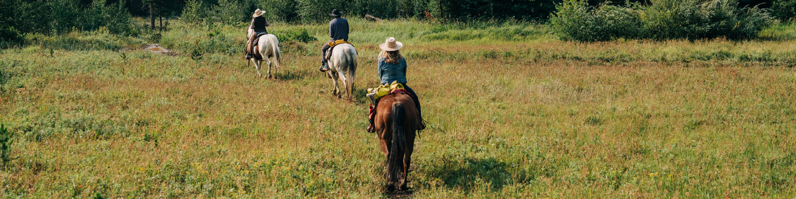
The Wapiti Valley
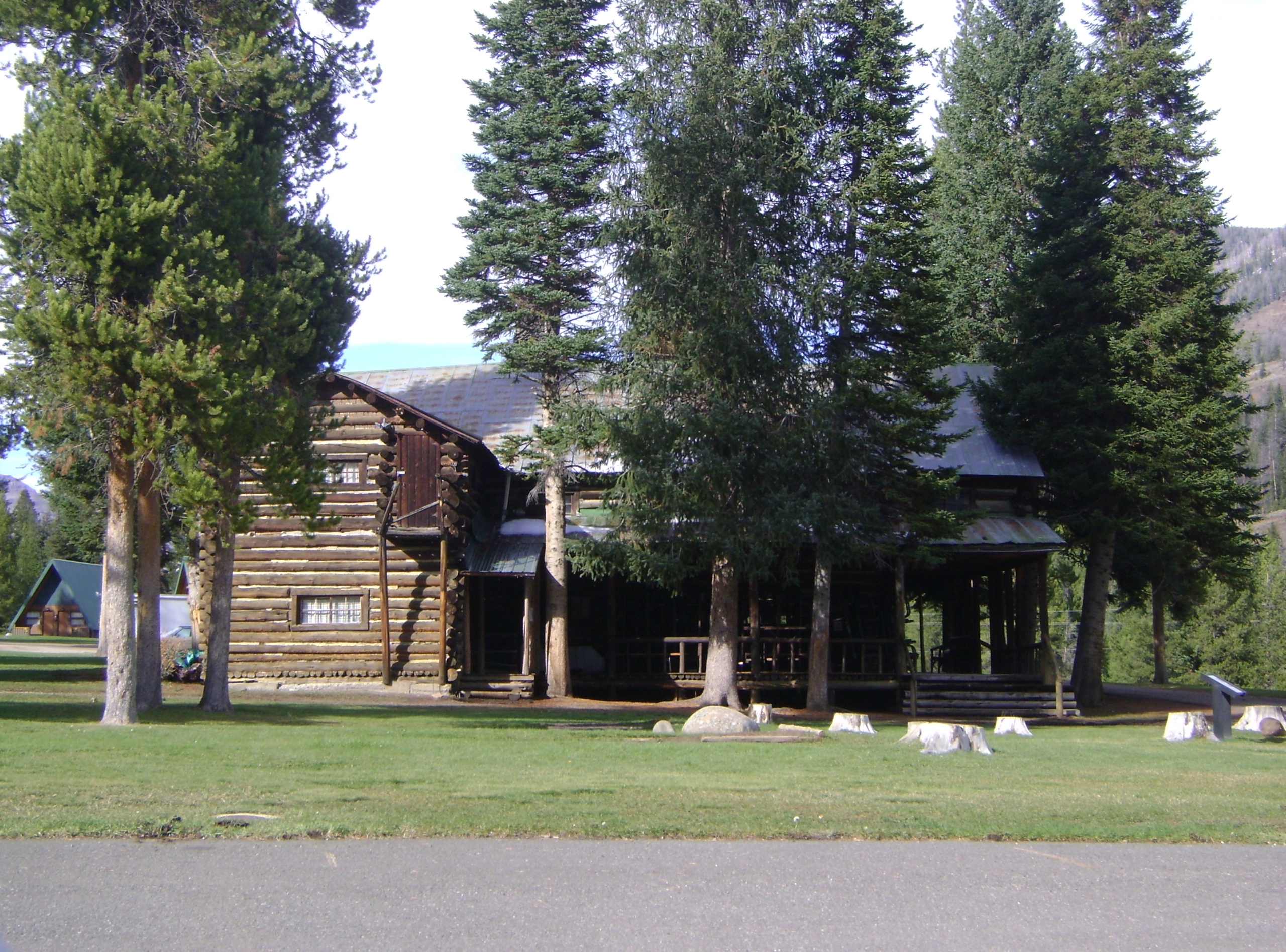
As its Indian name implies, The Wapiti Valley is home for the wapiti, or elk, as well as the grizzly bear, bighorn sheep, moose, deer, and other wildlife. A sharp eye might spot these animals feeding along the banks of streams, on grassy bench lands, and on brushy slopes. Buffalo Bill Cody built his hunting lodge, Pahaska Tepee, here beneath a sheltering cliff. This building is now listed on the National Register of Historic Places. The Valley is home to fourteen beautiful, historic lodges offering full service accommodations, nightly, weekly, or monthly. Any of these lodges may be used as home-base while touring all of Cody Country and enjoying Cody’s many fine attractions.
Entering Yellowstone National Park
At the head of the East Yellowstone Valley the highway enters Yellowstone National Park. If you choose to take the loop through the eastern half of the Park to the northeast entrance, you will pass Yellowstone Lake, Fishing Bridge, the Grand Canyon of the Yellowstone, and Tower Falls, all within the Park. Pamphlets available at the Park entrance tell of Yellowstone’s natural splendors.
Leaving the Park
Upon leaving the northeast entrance of the Park, the US Highway 212 connects the historic gold-mining towns of Silver Gate and Cooke City, Montana. Traveling eastward services are limited for fifty miles, so consider taking advantage of the services there.
Chief Joseph Scenic Byway
From Cooke City you will trace the route taken by Chief Joseph and the Nez Perce Indians in 1877 as they fled the US Army. The section of highway passes through broad sweeps of forest, wide open meadows, and bench lands dotted with aspen and sagebrush. Thirteen miles past Cooke City you will leave US 212 and follow Wyoming Highway 296 – the Chief Joseph Scenic Byway. Here, the highway drops into the valley of the Clarks Fork of the Yellowstone River, where the river has carved a spectacular 1200 foot gorge between the granite Beartooth Plateau to the north and the volcanic Absaroka Mountains to the south. Several thousand elk spend their summers in the northern part of Yellowstone and migrate here each fall for winter forage. This habitat is also crucial to the survival of the grizzly bear.
Cathedral Cliffs & Swamp Lake
A short distance beyond the crossing of the Clarks Fork, the road skirts the limestone Cathedral Cliffs. Watch for moose and waterfowl feeding in the Swamp Lake Botanical Area nestled at the base of the cliffs.
Sunlight Creek & Basin
The highway crosses Sunlight Creek on the highest bridge in Wyoming. You may want to stop in the parking area and walk back across the bridge for a startling view of the canyon. If you have time to spare, take the well-traveled dirt road that turns west 1/8 mile past the bridge for a look at the broad valleys and rugged steeps of Sunlight Basin. If not, you will continue on Wyoming 296, and begin the climb over Dead Indian Hill which offers dramatic vistas of the Clarks Fork Canyon and Sunlight Basin.
Two Dot Ranch & Heart Mountain
Past the summit of Dead Indian Pass, the road ribbons down the eastern slope, onto the flats, and across the Two Dot Ranch, a historic cattle operation. Heart Mountain dominates the eastern view as you turn south on Wyoming 120 to Cody.
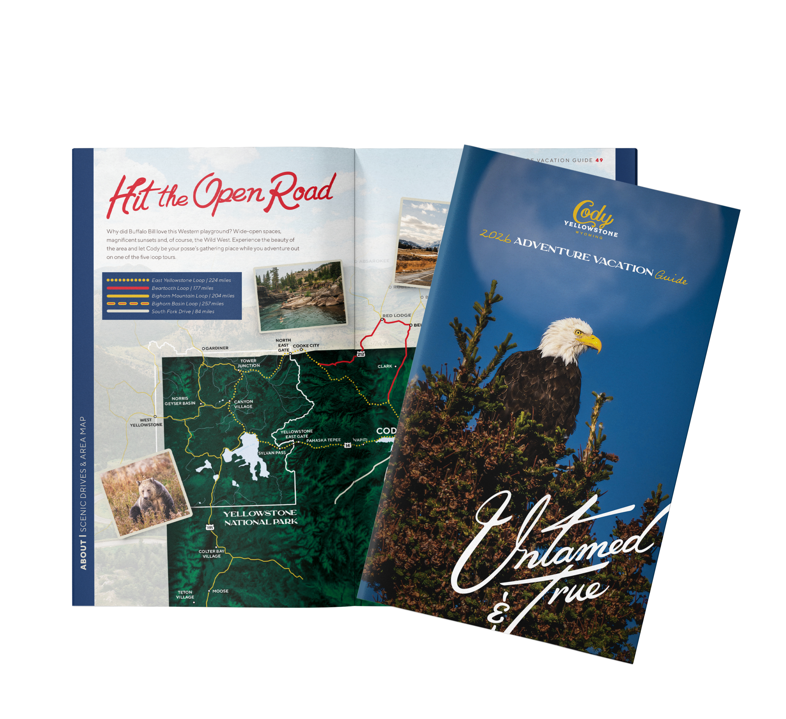
Get Your Free Cody Yellowstone Vacation Guide
Start planning your wild adventure with the help of our free guide.