ripple background

Great American Road Trip: Cody Yellowstone Country

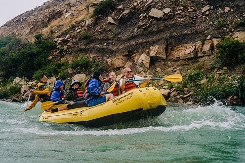
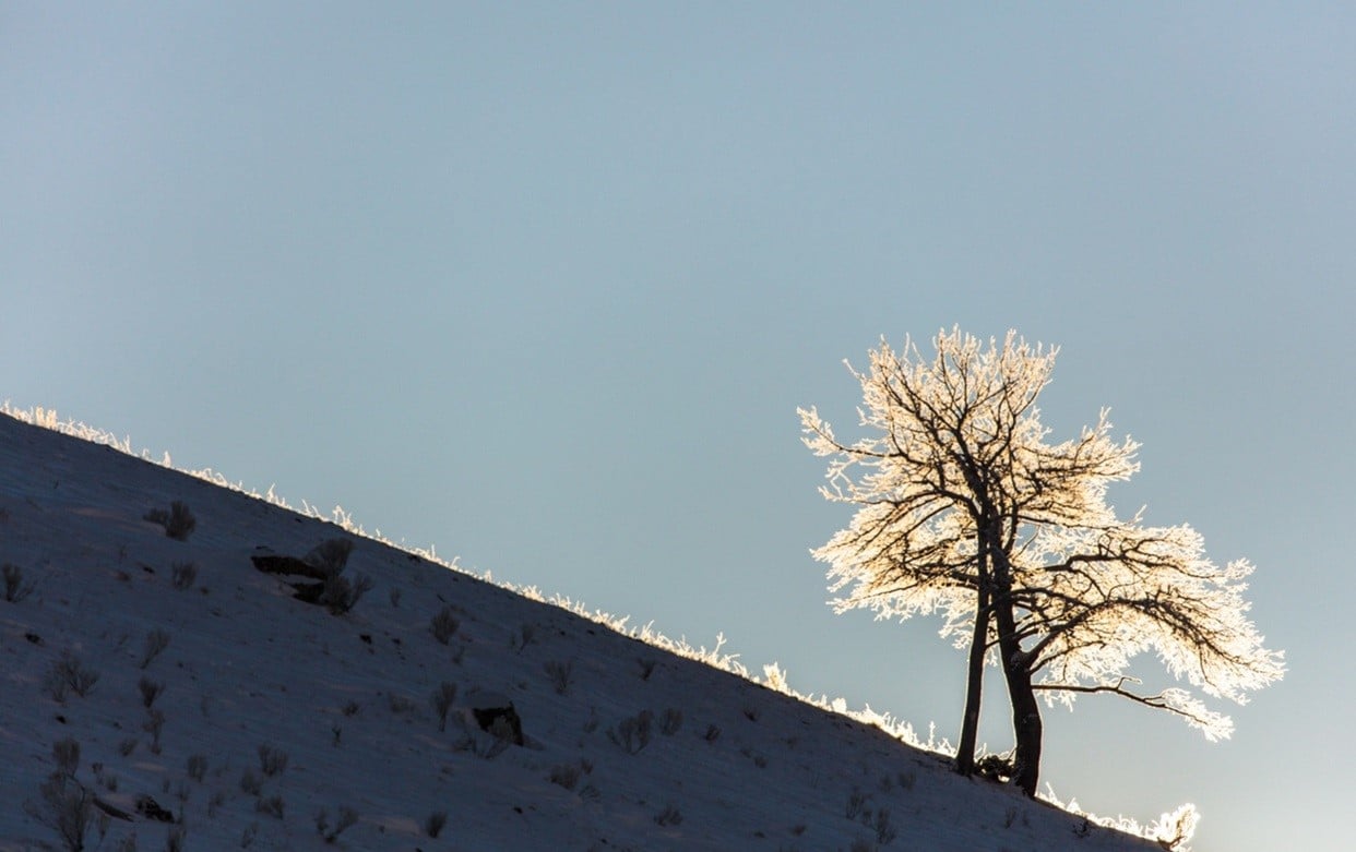
CODY, Wyo., April 2, 2018 – There is no uninteresting route to northwestern Wyoming’s Cody Yellowstone Country. From every direction, travelers bound for Yellowstone Country drive along scenic byways and highways, pass historically significant sites and spot wildlife roaming free in a wild northwestern Wyoming region that is home to the world’s first national park.

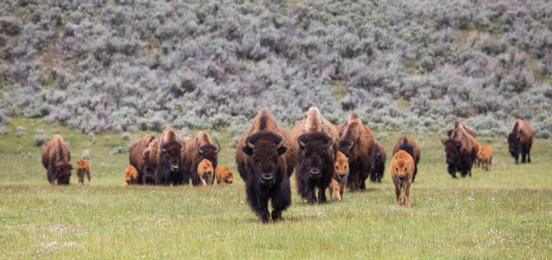
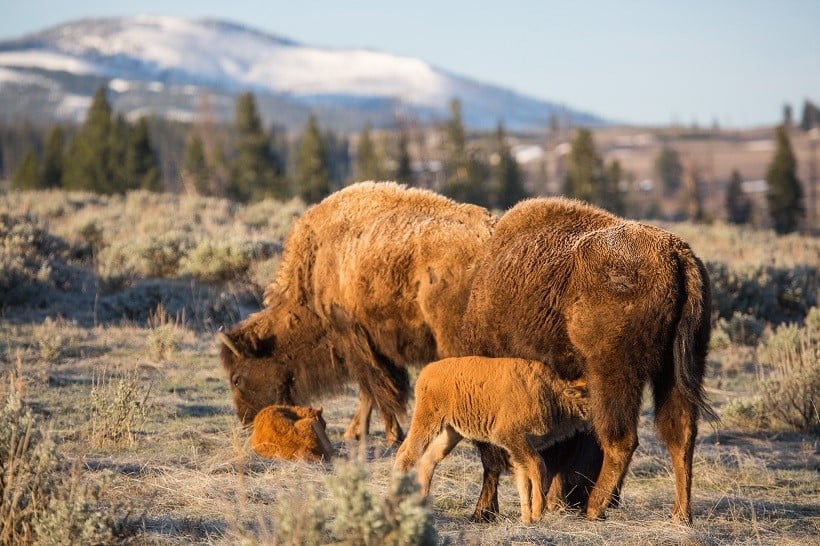
“Yellowstone Country has been a Great American Adventure destination for generations, with road-trippers traveling from near and far to see bison and bears, experience the cowboy culture of Cody and view the geothermal features of Yellowstone National Park,” said Claudia Wade, executive director of the Park County Travel Council, the marketing arm of the destination that includes the towns of Cody, Powell, Meeteetse and the valley east of Yellowstone. “This is a region with many surprises around the next bend, and we urge travelers to slow down and savor the experience of getting here.”

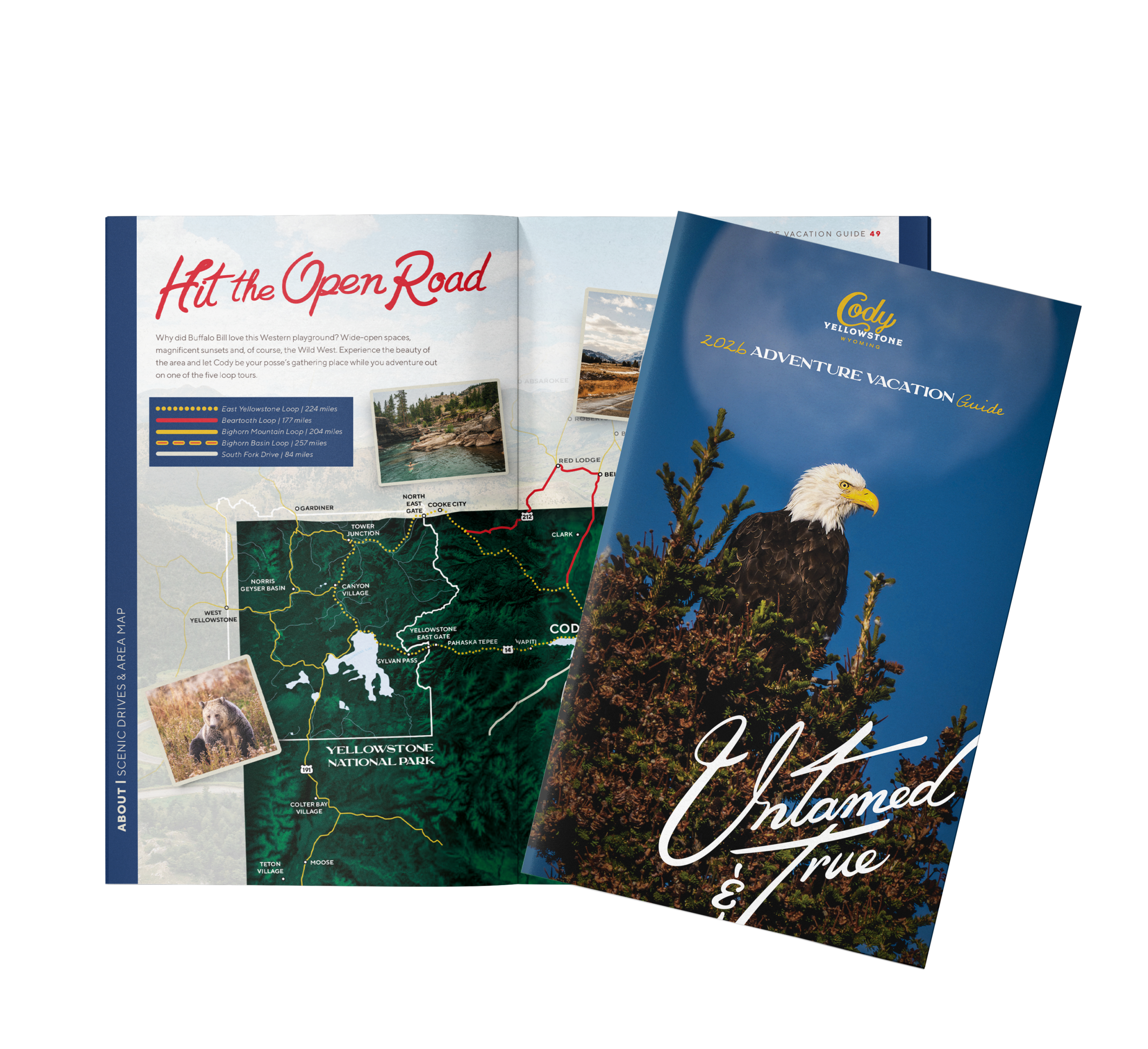
And if guests haven’t had enough road-tripping by the time they arrive in Cody, they can always embark on one of these five scenic driving tours from Cody:


Wildflowers along the Beartooth Highway.

Wildflowers along the Beartooth Highway.

Beartooth Loop

Heading north from Cody through the rolling grasslands on Wyoming Highway 120, drivers will pass by the west side of Heart Mountain, a local landmark, before turning onto the Chief Joseph Scenic Byway, Wyoming Highway 296. Continuing west over the historic Sunlight Creek Bridge – the highest bridge in the state – travelers should watch for moose and waterfowl as well as a 1,200-foot gorge between the granite Beartooth Plateau and the volcanic Absaroka Mountains. Turning right onto U.S. 212 – also known as the Beartooth Highway – drivers will learn why commentator Charles Kuralt dubbed the road “the most beautiful drive in America.” Continuing on to Red Lodge, Mont., travelers will see Beartooth Butte and pass many trout-rich ponds and lakes dotting the area before driving the Beartooth Pass, the highest road in Wyoming. To continue the loop, drivers should turn east at Red Lodge onto Montana 308 and proceed through the old coal-mining town of Bear Creek to Belfry, Mont. Upon turning south on Montana 72/Wyoming 120, drivers follow the base of the Beartooth Mountains and Clark’s Fork Canyon before returning to Cody.

Detours – In addition to stopping at the Sunlight Creek Bridge, a popular stop is Red Lodge, Mont., a friendly and historic mining town.

Bighorn Basin Loop

This route begins with Wyoming Highway 120 south through the town of Meeteetse and to Thermopolis. Turning north onto U.S. 20 to the town of Worland – the agricultural hub of the region – and then taking U.S. 16 east to the town of Ten Sleep, visitors will be treated to a spectacular view of the Bighorn Mountains. Heading north on Norwood Road, drivers will skirt the base of the Bighorns before joining Wyoming 31 and connecting to U.S. 16-20 from the town of Manderson to the town of Basin. Drivers will pass through fertile ranch and farm lands of the Greybull River Valley on Wyoming 30 west before picking up Wyoming Highway 120 again and returning to Cody.

Detours – In Thermopolis, home of the world’s largest free-flowing hot springs, travelers can stop at Hot Springs State Park to soak in mineral hot pools or visit the Wyoming Dinosaur Center and Dig Sites, also in Thermopolis.

Bighorn Mountain Loop

This route begins on U.S. 14A and heads northeast through the towns of Powell and Lovell, past the Bighorn Canyon National Recreation Area Visitor Center and to Burgess Junction. From there, drivers head south onto U.S. 14 along the west slope of the Bighorn Mountains and through wildlife-rich meadowlands before arriving at the town of Greybull, which derives its name from a legendary albino bison bull that was sacred to American Indians. U.S. Highway 14-16-20 continues west to Cody and offers terrific views of the Absaroka Mountains to the west and Heart Mountain to the north.

Detours – Explore the Heart Mountain WWII Interpretive Center between Cody and Powell for a moving lesson in U.S. history. The Pryor Mountain Wild Horse Range, home to 120 free-roaming wild horses, is a short detour from the Wild Horse Range Visitor Center. On a three-mile access road off 14A between Burgess Junction and Bighorn Lake, visitors will find Medicine Wheel, a mysterious 74-foot stone circle with 28 spokes that some think had religious or astronomical meaning to an ancient Indian tribe.


Buffalo roam in an open field

Wildlife is spotted often from the roads in Cody Yellowstone Country.

East Yellowstone Loop

This route heads to Yellowstone National Park via the U.S. Highway 14-16-20 along the North Fork of the Shoshone River past the Buffalo Bill Reservoir and through the scenic East Yellowstone Valley and the Shoshone National Forest to Pahaska Tepee, Buffalo Bill’s original hunting lodge. Entering the park through the East Gate, travelers can explore the eastern half of the park and exit via the Northeast Gate and Cooke City and connecting to U.S. Highway 212. Along the way, visitors will pass Yellowstone Lake, Fishing Bridge, the Grand Canyon of the Yellowstone River and Tower Falls before driving through Lamar Valley, known as “America’s Serengeti” because of its abundance of wildlife. From Cooke City, drivers will trace the route taken by Chief Joseph and the Nez Perce Indians in 1877 as they fled the U.S. Army. Highway US 212 connects to Wyoming Highway 296 – the Chief Joseph Scenic Byway – and drops to the valley of Clarks Fork of the Yellowstone River. Continuing on Wyoming 296, drivers climb Dead Indian Pass, with dramatic vistas of the Clarks Fork Canyon and Sunlight Basin, before connecting to Wyoming 120 and returning to Cody.

Detours – Yellowstone is full of viewpoints, historic sites and architecture and wildlife. The Lower Falls of the Grand Canyon of the Yellowstone River shouldn’t be missed. Documented by photographer William Henry Jackson and in paintings by Thomas Moran, the beauty of the falls helped inspired Congress to designate the world’s first national park.

South Fork Trip

A good option for Cody visitors with limited time, the half-day drive begins on Wyoming 291 a short drive west of Cody’s Buffalo Bill Center of the West and skirts Cedar Mountain before heading toward the Buffalo Bill Reservoir. The route continues along the South Fork of the Shoshone River and past Buffalo Bill Cody’s original TE Ranch, built in 1895. The road dead-ends near Deer Creek Campground.

Detours – Deer Creek Campground is a desirable place for a picnic lunch, and travelers will likely see abundant pronghorn, elk and deer along the way.

###

Cody/Yellowstone Country is comprised of the towns of Cody, Powell and Meeteetse as well as the valley east of Yellowstone National Park.

The area of Park County called “Cody/Yellowstone Country” was the playground of Buffalo Bill Cody himself. Buffalo Bill founded the town of Cody in 1896, and the entire region was driven and is still heavily influenced by the vision of the Colonel. Today its broad streets, world-class museum Buffalo Bill Center of the West and thriving western culture host nearly 1 million visitors annually.

Related hashtags: #YellowstoneCountry #CodyWyoming #CenteroftheWest #BuffaloBill #Yellowstone #Wyoming

Media contact:

Mesereau Travel Public Relations

(970) 286-2751

[email protected]

[email protected]

The beautiful Chief Joseph Scenic Byway